
Mount Pleasant Commute Reality Check: 6 Routes, Times, and Tradeoffs
Commuting in and out of Mount Pleasant can feel deceptively simple on a map—until you hit that first backup near the bridge or a surprise slowdown on I-526. The good news is that most days you have options, and the "best" route depends less on mileage and more on when you travel, your tolerance for stop-and-go, and whether a single incident can ruin your whole morning. Think of this as a practical, boots-on-the-ground guide: six common routes, what they're like in real life, and the tradeoffs locals learn quickly.
A quick note on times: commute windows vary wildly by season, school calendars, weather, and crashes—so think in ranges, not promises. In general, peak pressure builds quickly on weekdays around 7:15–8:45 a.m. and 4:30–6:15 p.m. If you can shift even 20–30 minutes earlier, you'll often "buy back" the equivalent of miles in stress reduction.
Also, Mount Pleasant isn't one single starting point. A drive from Park West feels different than one from Old Village; living closer to I-526 can be a gift for cross-town access, while living closer to the bridges can be a gift for peninsula trips. As you compare homes, it helps to match the neighborhood to your most frequent destination instead of chasing a generic "central" address.
Route 1: Ravenel Bridge into Downtown Charleston
This is the iconic commute—and for many, the most emotionally appealing—because it's direct and puts you on the peninsula fast when traffic cooperates. Typical weekday peaks often land in the 20–40 minute range from central Mount Pleasant to downtown, with "good days" feeling almost effortless and "one-incident days" ballooning quickly. The tradeoff is fragility: when the bridge corridor clogs, there aren't many true substitutes that don't also absorb the overflow.
Best for: regular trips to downtown offices, medical campuses, and cultural destinations. Watch-outs: weather, events, and collisions can create stop-and-go that feels disproportionate to the distance. If you'll do this often, consider how close you are to the bridge approaches—and whether a flexible start time is realistic.
Route 2: I-526 (Wando Bridge) to North Charleston / Airport Area
If your work is near North Charleston or the airport, I-526 is usually the spine of your week. Many drivers see 20–35 minutes in common rush windows depending on where they start and how close they are to the on-ramps. It's faster than cutting through surface roads, but it's also the kind of corridor where one disabled vehicle can stack traffic hard.
The upside is that neighborhoods with easy access to I-526 can feel surprisingly "connected" even if they're not close to downtown Charleston. If you travel for work, fly frequently, or visit multiple job sites across the metro, this route can be a quality-of-life multiplier.
Route 3: Long Point Road / Coleman Boulevard Surface Route (Local-to-Local Trips)
Not every commute is a cross-town mission. For schools, offices, and appointments inside Mount Pleasant, surface routes like Long Point Road and Coleman Boulevard can be the most relevant "commute" you'll ever do. Distances are short, but signal timing and school traffic can turn a 10-minute drive into 15–30 minutes at peak moments.
The big tradeoff here is predictability versus convenience: surface routes can be more consistent than interstate backups, but they also demand patience—especially near school start and dismissal times. If your day includes repeated local errands, living with quick access to your usual corridor can matter more than shaving two minutes off an occasional highway run.
Route 4: Highway 41 (Rifle Range Road Area to Park West) and the "Connector" Reality
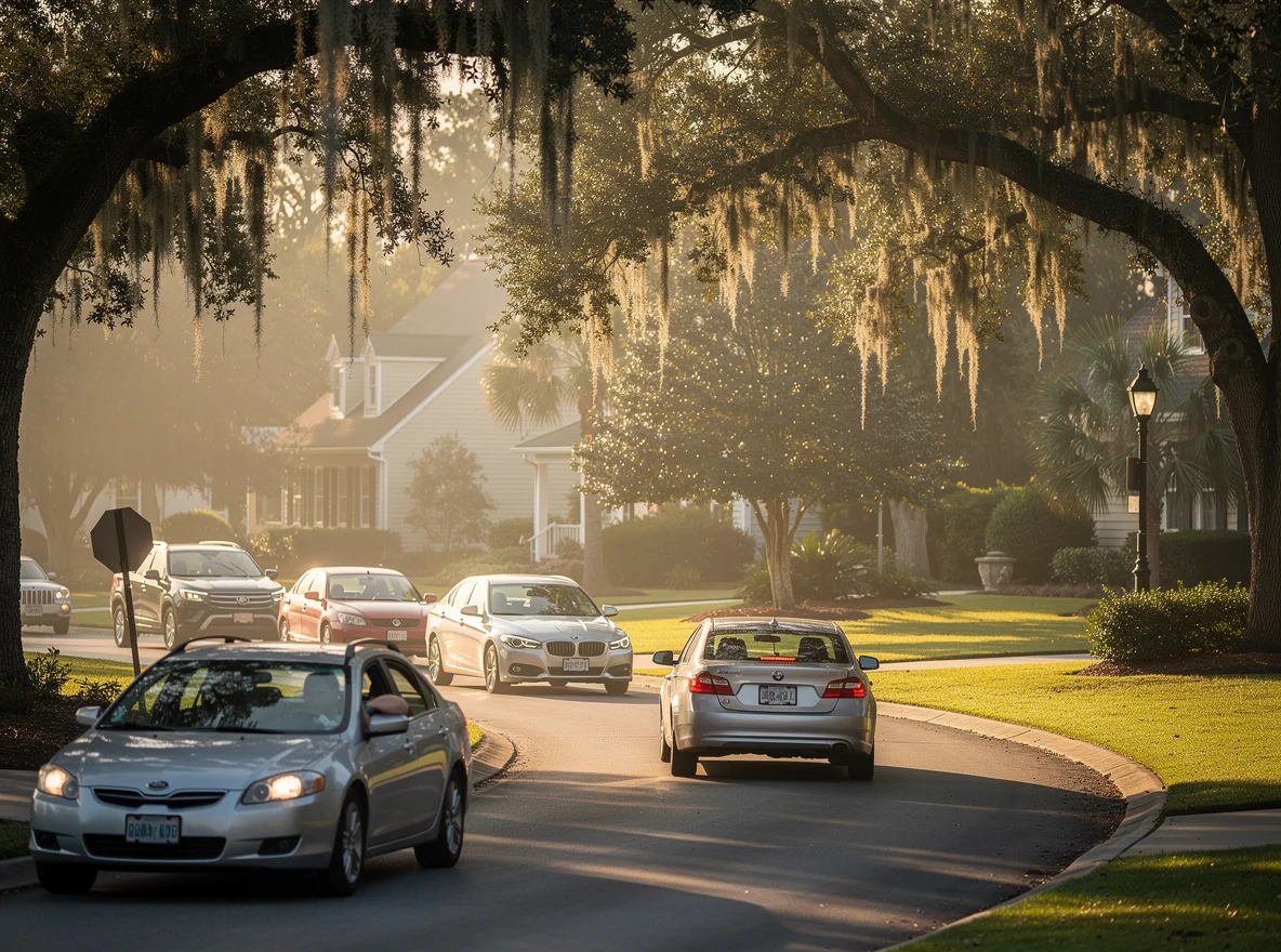
Highway 41 and its connectors are the reality check for anyone moving between the Park West area, Wando, and the northern side of Mount Pleasant. On paper it's a straightforward north-south option; in practice, it can be a bottleneck during school and standard rush windows. Expect 15–35 minutes for many internal trips that look much shorter on a map.
Tradeoff: you gain access to neighborhoods that feel a little more removed from the peninsula bustle, often with newer housing stock and community amenities. The "cost" is that some errands and commutes are essentially paid in traffic at a few key choke points. If you're house hunting, it's worth doing a test drive during your real commute time—not midday—so you understand how that daily rhythm will feel.
Pro tip: small timing shifts matter a lot here. Leaving 10 minutes earlier can mean catching a different signal cycle pattern and avoiding the slowest buildup near major intersections.
Route 5: Johnnie Dodds Boulevard (US-17) as the Flexible Backup
US-17 is the route that often saves the day when something goes sideways elsewhere—yet it can also be the reason your "short trip" takes longer than expected. Many commuters treat it as a flexible alternative to I-526 or the bridge approaches, and in lighter traffic it can be perfectly serviceable. During peak windows, though, it's common to see 20–45 minutes depending on the segment and the number of lights you hit.
The advantage is optionality: you can peel off into neighborhoods, adjust on the fly, and avoid being trapped behind a single incident on a limited-access road. The tradeoff is mental load—more stops, more merging, and more variability. If you like a calmer drive, you might prefer a slightly longer interstate route that's steadier on "normal" days.
Route 6: The "Off-Peak Strategy" (Your Best Route Might Be a Time, Not a Road)
Here's the unglamorous truth: in Mount Pleasant, the easiest way to improve a commute is often to change the clock instead of the route. If your workplace allows it, starting at 7:00 a.m. instead of 8:00 a.m. (or leaving at 3:30 p.m. instead of 5:00 p.m.) can cut a typical drive by 20–40% and make it dramatically more predictable. Off-peak travel also makes errands feel easy again—school pickups, activities, and appointments don't have to be their own mini-battles.
This is especially relevant for households with two commuters heading in different directions. One person might prioritize proximity to I-526 while the other cares most about bridge access—and the compromise becomes manageable if at least one schedule is flexible.
How Commute Patterns Influence Real Estate Choices
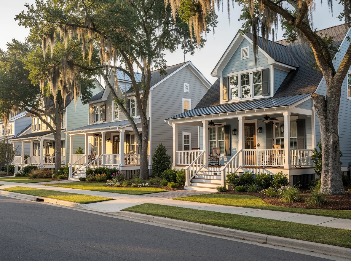
Commute "tradeoffs" show up in home searches more than most buyers expect. If you're downtown-facing, you may value proximity to the bridge approaches and walkable pockets near parks and gathering spaces. If you're North Charleston- or airport-facing, quick I-526 access can be the difference between a manageable weekday and a draining one. And if your life is largely within Mount Pleasant—schools, sports, medical, and friends—then the most valuable feature may simply be being close to your daily loop.
It's also worth weighing what you get in return for your commute. Some areas offer newer construction, larger lots, or amenity-rich communities; others offer a more historic feel, quicker access to waterfront views, or a shorter hop to peninsula events. None of these are universally "better"—they're lifestyle levers. The right choice is the one that makes your normal Tuesday feel easier, not just your occasional weekend.
If you're comparing neighborhoods, build a simple checklist: where do you go most often, what time do you go, and which route fails hardest when there's a problem? Answer those honestly and your "best" Mount Pleasant location usually becomes clear.
Bottom Line
Mount Pleasant is absolutely commutable, but it rewards realism. Pick routes that match your true destination, assume variability during peak windows, and remember that flexibility is its own superpower. If you're weighing homes and want a commute-first perspective—what's convenient for downtown days, airport runs, school schedules, or a hybrid work week—The Shawn Cleary Team can help you compare neighborhoods through the lens that matters most: how you'll actually live there.